

Map your future

Learn More about GIS
Explore map modules, instructor guides, and student materials and more at the Geographic Information Science (GIS) webpage.
What you'll earn
Whether you're using it for science, business, resource management, public safety, or urban and regional planning, we'll give you the technical skills to employ geographic information science (GIS).
Certificate of Completion
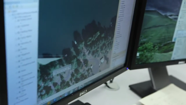
This 12-credit program will teach you how to develop and manage spatial data (information related to location), use data to make decisions and mange resources, and create and update maps for use in reports and presentations.
WHAT YOU'LL LEARN
- The basics of digital cartography: data visualization, color application, and design techniques.
- How to manage and edit spatial information using industry standard tools and techniques
- Technical skills and routines to create effective analyses and maps
- How to create maps and analyses from aerial imagery
AFTER LANE
You can apply your GIS skills in various career fields such as natural resource management, utilities services, all levels of government, public safety, health and human services, marketing, public/urban planning, research, and publishing.
Or you can transfer to a university to get a four-year degree in areas like geography, environmental science, earth science, computer science, design, urban planning, criminal justice, unmanned aerial systems, business, marketing, or civil engineering.
Learn more about Geographic Information Science


Not quite what you’re looking for?


Ready to learn more?

Talk one-on-one with a recruiter to learn more about what Lane has to offer you.
4000 East 30th Avenue
Eugene, Oregon 97405
Thursday, 10:00 a.m.-5:00 p.m.
Friday, 8:30 a.m.-2:00 p.m.
LCC is closed on Fridays in the summer